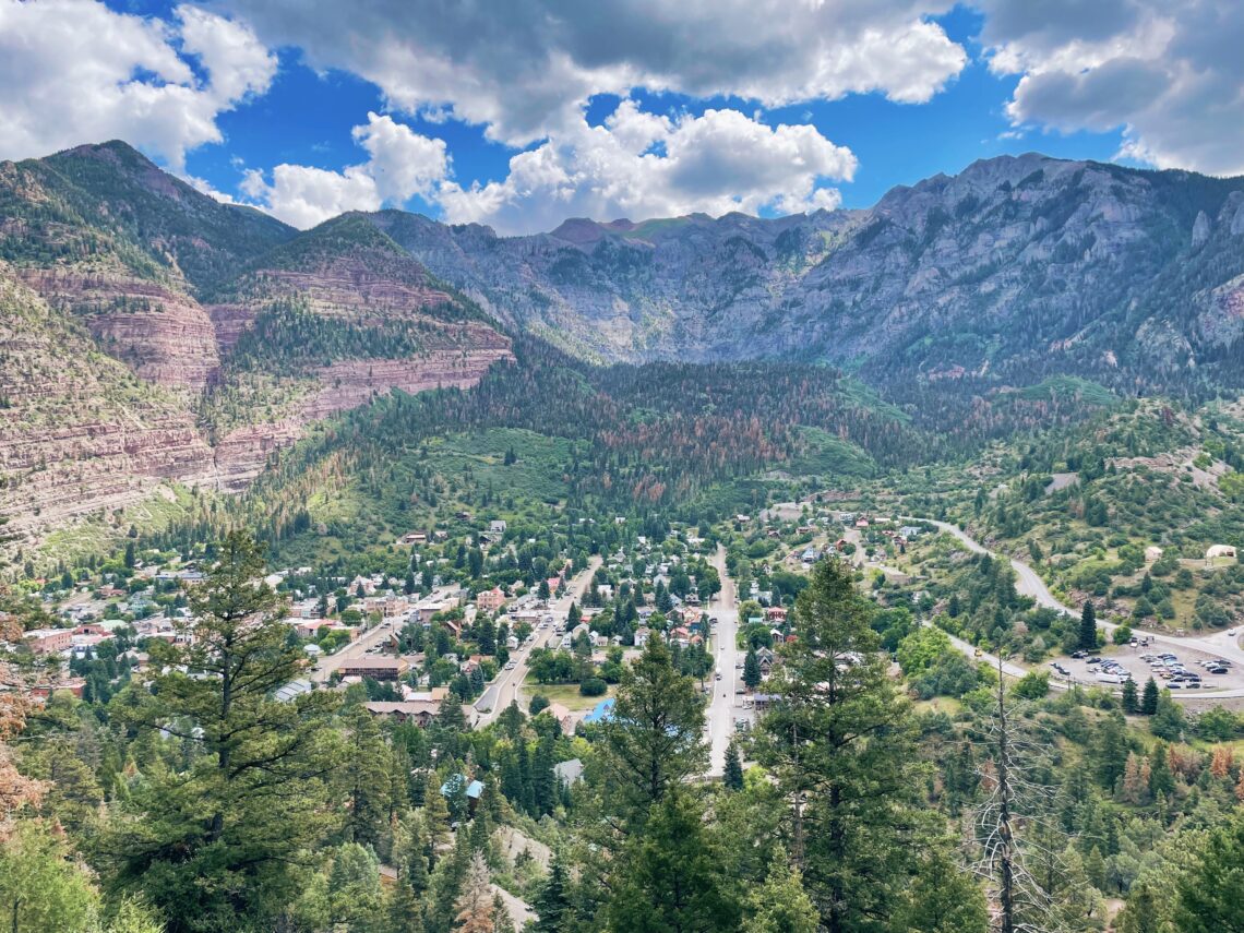
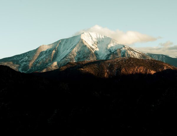
Hiking the Perimeter Trail in Ouray, CO is one of my favorite ways to enjoy stellar views of the town and the surrounding San Juan Mountains.
Dubbed the Switzerland of America, Ouray, Colorado is one of the more picturesque towns in the state. As a popular destination along the famed Million Dollar Highway, Ouray is a hub for outdoor adventure, hot springs, and shopping and dining with its historic main street. I typically come here to enjoy the hot springs, and the colors in the fall and explore its epic trails.
If it’s your first time to Ouray, then this hike is a great one to start with. The 6.5-mile loop walks the perimeter of the town through varied terrain while gaining vantage points from each side of the canyon, acquainting you with an aerial view of its streets and the surrounding mountains.
Where to start
While there are several places throughout town to catch the trail, the best and easiest way is to start at the Ouray Visitor’s Center at the north end. From here, choose the counterclockwise route as you ascend the east side of the canyon. I always like to begin my hikes by working my way up and then coming back down towards the end of the hike.
Beginning
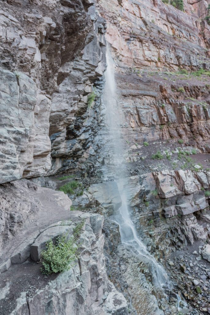
If you choose this route, the first waterfall you come across is Cascade Falls. Lower Cascade Falls is visible from the trail, while you need to take a little detour to see the Upper Cascade Falls. Then soon you’ll be following Portland Creek where you will come to the second footbridge of the hike.

The next notable stop is at Baby Bathtubs Trail, where you will see tiny little pools of water collecting in between large and small smoothed-over rocks. This was an enjoyable spot to take a rest and enjoy a snack and some water.
Soon you will reach the Portland Mine Road ascending to the highest point of the hike at 8,500 feet in elevation. Be sure to stop and take in the views from here. From this point, you will descend to the highway, where the trail crosses over to the Ice Park Trail. This is a 3.7-mile loop that can be added to the Perimeter Trail if you desire. This is also where you will see the Ouray Ice Park, home to the Ice Climbing Festival, held every year in January. From, here you will actually walk over a large pipeline via some metal steps. Then following the pipeline, which is the Ice Park access road leading you to my favorite part of the hike, you’ll reach the Box Canyon High Bridge.

Middle
Cross the bridge over Canon Creek while taking in the views below you as the water rushes down this narrow canyon to lower Box Canyon falls. There is a small fee to explore lower Box Canyon but well worth it if you’ve never seen it! Plus, you can sign up for other activities such as the Ouray Via Ferrata which takes you down into the canyon.
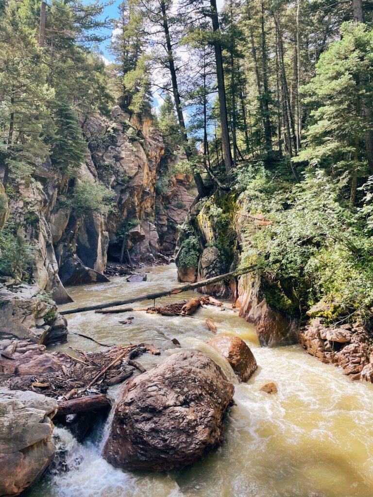

Exiting the bridge, you will walk through a narrow tunnel, fully equipped with sensor-activated lights to help guide the way. Watch your head, the space is a bit narrow but allows for two-way traffic.
End
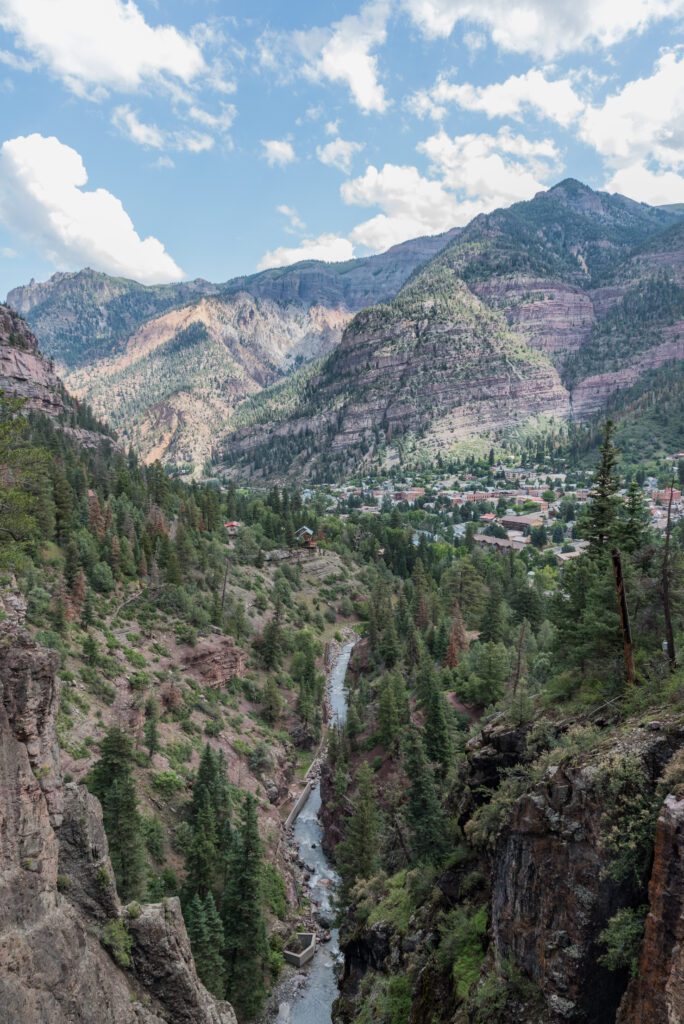

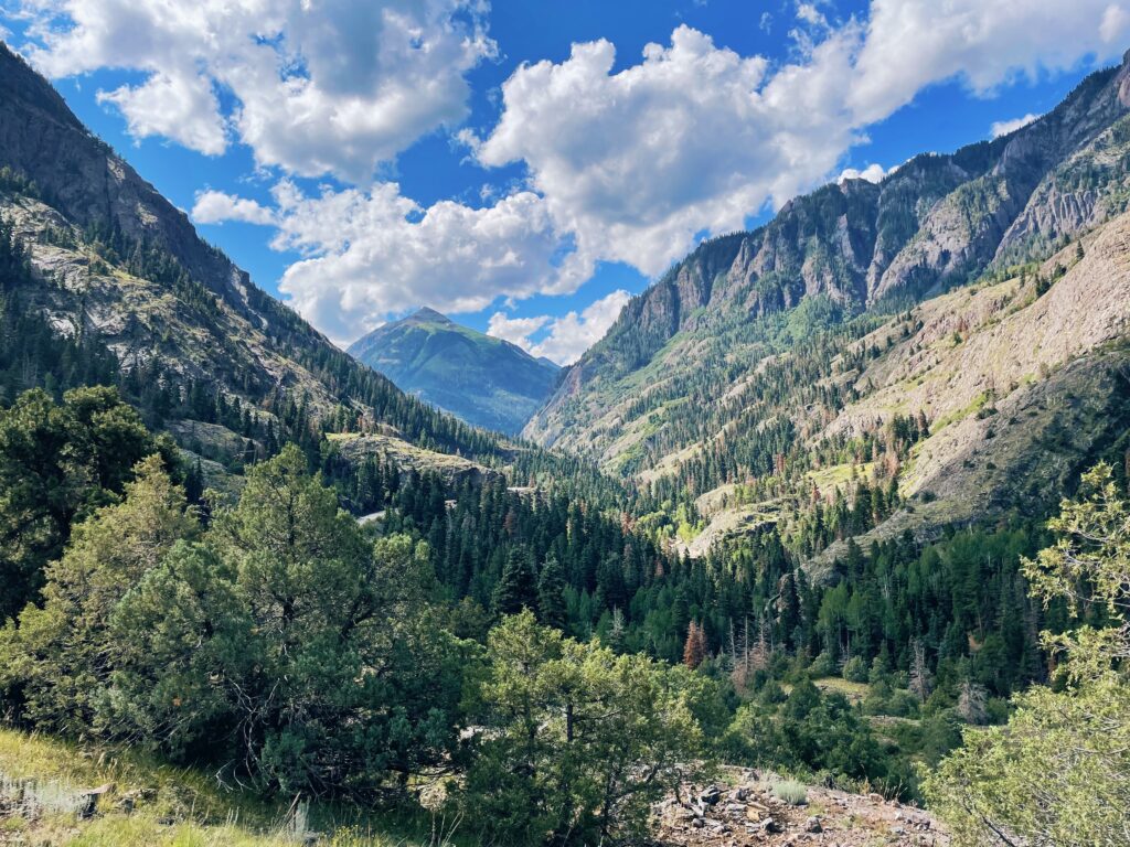
Soon, you will start to ascend Pinecrest Road, where you will be greeted with incredible views of the east side of the canyon. Then taking the Oak Creek Trail, you will come across the last waterfall and last footbridge of the hike. Following the trail out of the canyon, enjoy the views from Henn’s Overlook. At the overlook, the trail quickly descends to take you back to town.
Why I love hiking the Perimeter Trail in Ouray, CO
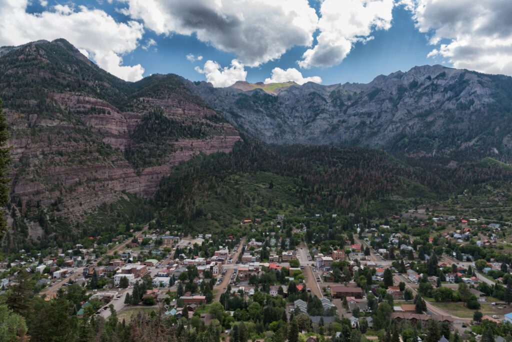

For me, one of the reasons I love this hike so much is the many vantage points you come across. From mountain and waterfall views to an overview of the town, there’s plenty to see. Plus, the trail can be picked up from several places in town making it easy to complete as much or as little of it as possible. And you don’t have to drive anywhere to get to it!
While the hike is rated as moderate, I found a few steep sections with rocky trails. A set of hiking poles would be helpful in navigating these areas. But the trail is well-marked with areas of placed footing to help you through some of the more difficult sections.
The Details
- Trail length: 6.7 miles RT
- 1,512 feet in elevation gain
- Time to complete: Roughly three hours
- Trail type: Loop
- Rated as moderate according to AllTrails
Follow Small Town Stops for more trail favorites like these!
