Where to Find the Rattlesnake Canyon Arches
So, where are the Rattlesnake Canyon arches of Colorado? They’re not as hard to find as one might think.
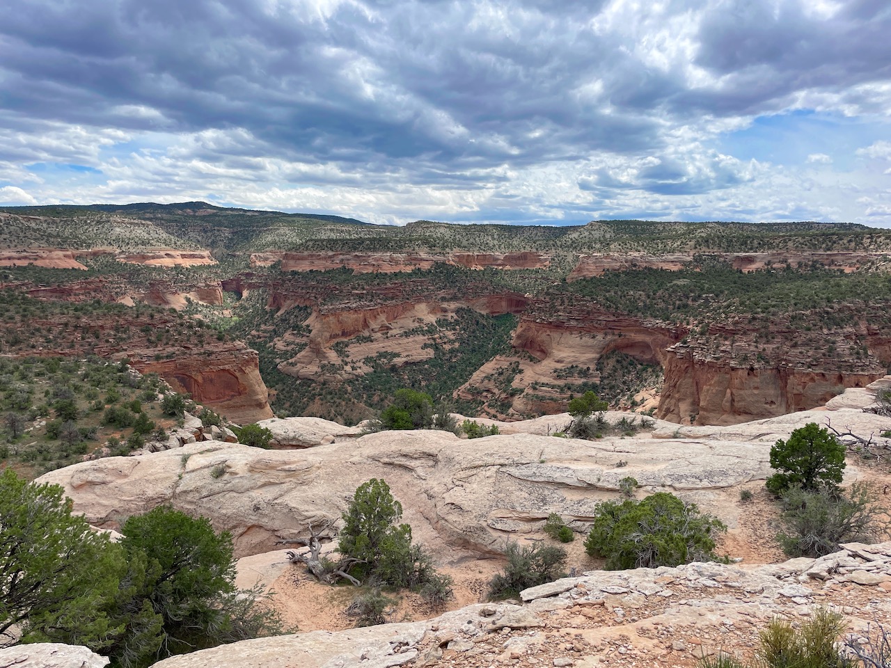
Colorado’s Western Slope is an unearthed landscape brimming with deep canyons, red cliffs and expansive mesas. Technically what we call the Western Slope is every bit of land west of the Continental Divide in Colorado. 22 different counties and numerous towns such as Montrose, Fruita, Delta and Grand Junction make up the Western Slope. It’s also home to the second largest concentration of arches (second to Arches National Park in Utah) in the United States — Rattlesnake Canyon.
For many in Colorado, Grand Junction is often thought of as the gateway to Moab, with it being less than two hours across the state border. Moab is home to the famed Arches National Park and Canyonlands National Park, which gets a reputation for its outdoor recreation, beautiful sandstone arches and a desert landscape made for the most adventurous. But what many don’t know and are starting to catch on to, is the similar landscape found on this side of the border in Rattlesnake Canyon. Located inside the Black Ridge Canyon Wilderness, the rugged and remote canyon lies just 30 minutes west of Grand Junction, nearing the Utah border.
The more and more I heard about Rattlesnake Canyon, I just knew I had to go and explore. So, I proposed a camping trip with a few of my girlfriends and we headed out west in my friend’s Subaru Forester Sport — making the four-hour trek from Denver to Grand Junction to find out where are the Rattlesnake Canyon arches of Colorado.
Camping near Rattlesnake Canyon in Colorado
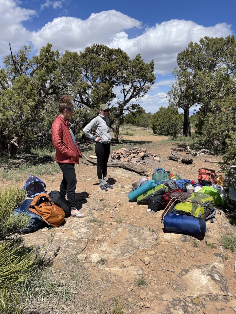
The first night we stayed in a cheap hotel in Grand Junction and got up early the next morning to head to the canyon to grab a killer campsite. It was a Friday and we knew the weekend crew would be there before we knew it.
Soon we were on the hunt for a campsite. I’ve camped with this group of women for years now and we all know the one who is ok with settling for the first campsite we come across (usually me) and there are always a few that want to keep looking because, well, you never know.
There isn’t much camping in the area. In fact, very little. It’s all dispersed camping, with no real campground nearby. We ended up at a great spot that would hold all five of our tents, food and booze. The spot was just down the road from the Mee Canyon Trailhead, along the Upper Road, and roughly a 15-minute drive to the Rattlesnake Canyon Trailhead.
Rattlesnake Canyon
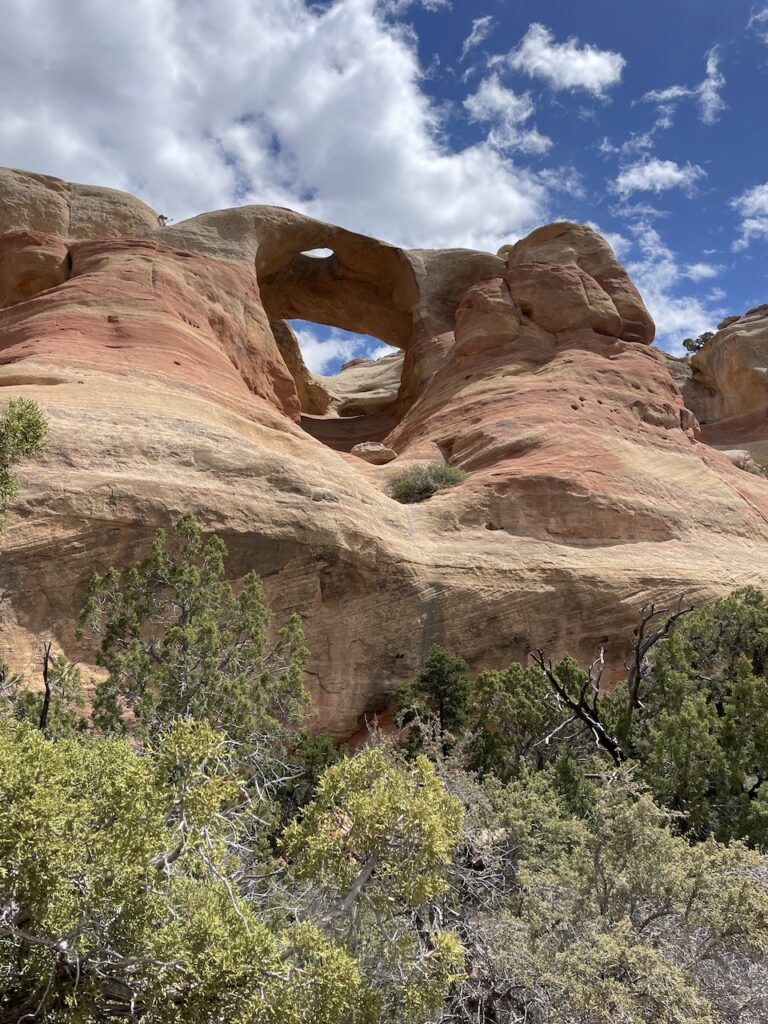
According to Visit Grand Junction, you can find 35 natural arches in Rattlesnake Canyon, including eight big arches. The canyon is tucked away inside the 123,400-acre McInnis Canyons National Conservation Area. And if you are on the hunt to see some arches but don’t want the crowds of Moab, this is the hike for you! Hiking in Rattlesnake Canyon to see arches is one of the best ways to avoid the crowds at Arches National Park while still getting a similar experience.
Getting to the Rattlesnake Arches trailhead
There are two routes you can hike inside the canyon. The Rattlesnake Canyon arches are accessible only by a rough drive on a 4×4 road or a 15-mile round-trip trek from a trailhead west of Grand Junction.
The Pollock Bench Trailhead via Fruita is a 15-mile round-trip hike that requires a little bit of technical scrambling and is rated as strenuous. While you could hike this in one day, it also makes for a short, one-night backpacking trip. The trailhead is found via the Horsetheif Canyon road heading west.
The other route is the Upper Trailhead via Glade Park. This is the shorter route to see the arches of Rattlesnake Canyon but requires a 4×4 high-clearance vehicle. There are two access points to the trailhead — the Upper and Lower Black Ridge Road. The Lower Access Road is open from August 15 to February 15. The Upper Access Road is open from April 15 to August 15.
For either, enter through the east entrance to Colorado National Monument. Take Rimrock Drive to 16 ½ Road. Shortly after turning left onto 16 ½ Road, turn right on Black Ridge Road and follow until you come to a fork in the road. The two routes eventually converge, leaving the last two miles to the trailhead which is considered the roughest section of the drive.
From Rimrock Drive to Rattlesnake Arches trailhead, it takes about 75 minutes regardless of which Access Road you are on. We made it down the Upper Access Road, past where they converge and almost all the way to the trailhead. We chose to stop about 100 yards (maybe less) from the trailhead due to really rough roads.
Hiking Rattlesnake Canyon
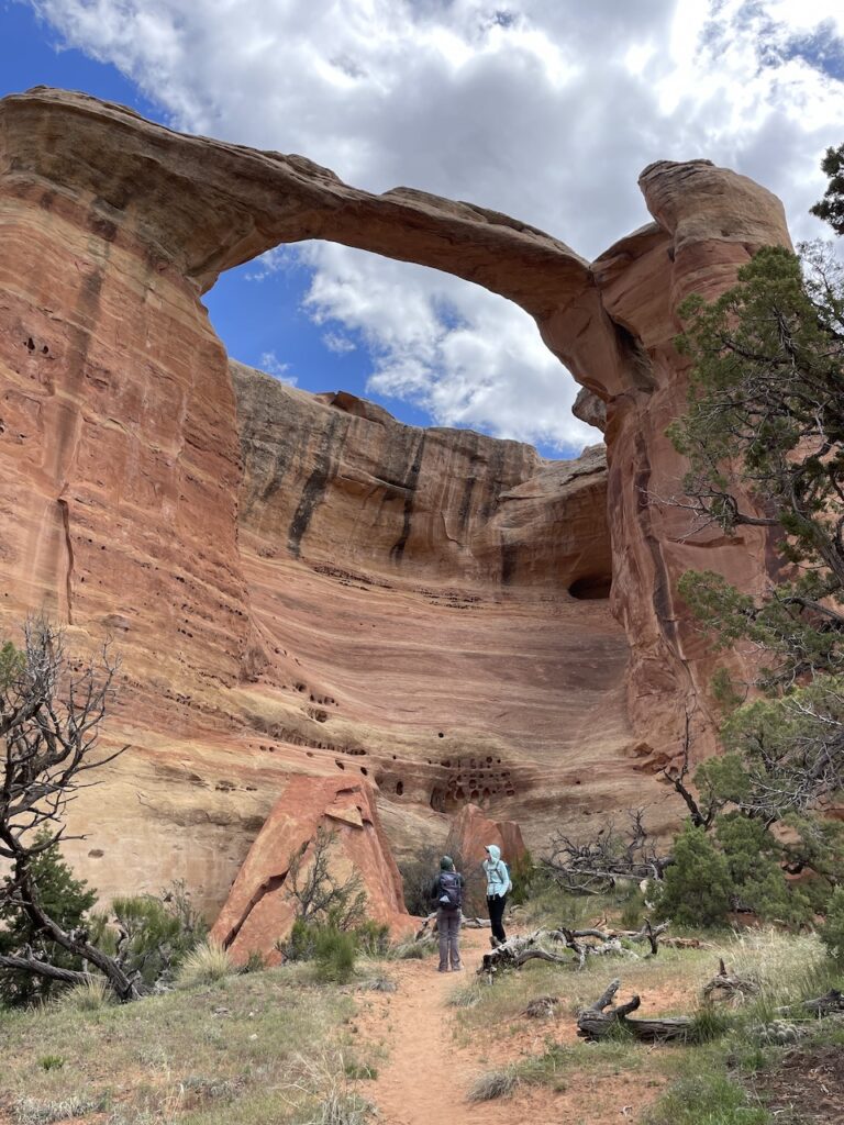
Upon reaching the trailhead, you’ll find signs for “upper trail” and “lower trail.” The upper trail takes you above the arches for a birdseye view of the canyon and Cedar Tree Arch from above. The “lower trail” takes you along the canyon floor where you can look up and see the arches. This route ends at Cedar Tree Arch where you can turn around and head back.
We chose to take the “lower trail” first. This was roughly 6.5 miles round trip and is the best way to see all the arches the area is known for. Of note are the East Rim Arch, Bridge Arch and the Cedar Tree Arch at the end. These are some of the biggest arches in Rattlesnake Canyon.
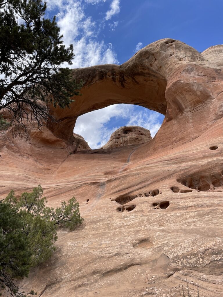
Upon reaching the Cedar Tree Arch at the end, we noticed people climbing up the side of the cliff that rests underneath the arch. We spoke with a few other people and it appeared that those who dared, climbed up to the top of the arch to make a loop, connecting the “Lower trail” to the “Upper trail.” Three of us decided to do it, while the other two took the “lower trail” back. It was one of the most terrifying things I have done. You’re pretty much scaling a sandstone wall with no rope and very few holds.
WARNING: I am not advising this option as it is extremely dangerous. This route is not officially posted on the Grand Junction website, but it did seem like a popular option for many.
When is the best time to visit Rattlesnake Canyon Arches?
The best times to visit are in late spring/early summer and fall. In the middle of summer, temperatures and reach into the 100s making it very hot. The trail is mostly exposed, so avoiding the heat is not really possible. If you do go in summer, as always start as early as you can.
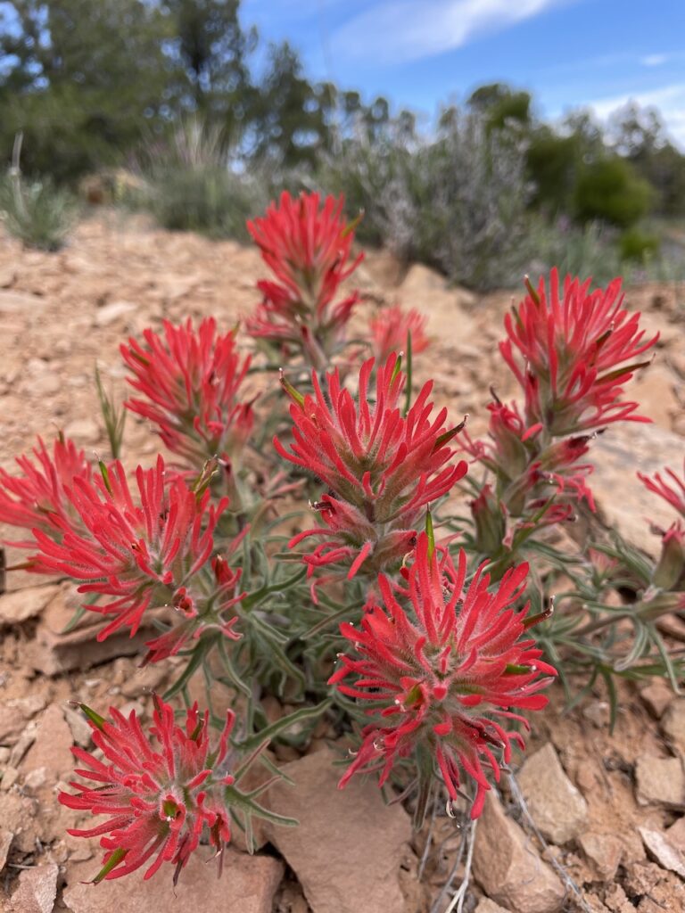
And remember, motorized vehicles are prohibited along Black Ridge Road (accessing the canyon) from February 15 – April 15 due to snow melt and wet roads. Plus, in the springtime, you’ll discover an array of wildflowers like the Indian Paintbrush and Kingcup Cactus.
Hiking Mee Canyon near Grand Junction
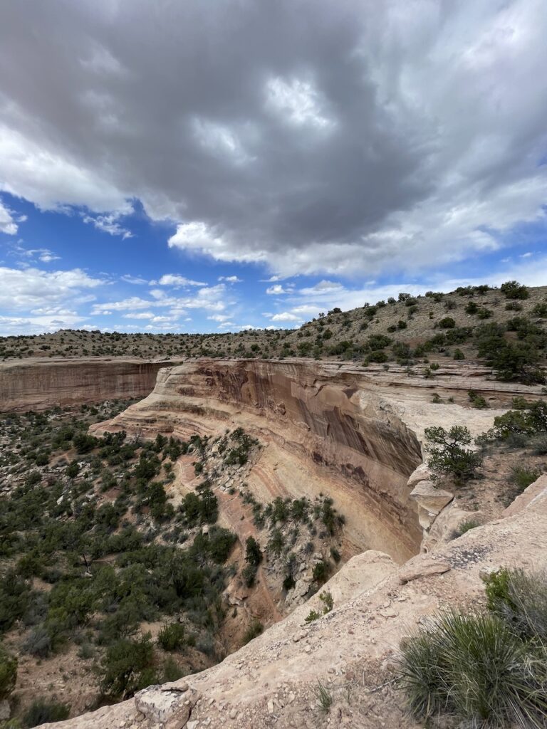
Since we got to our campsite early the first day, we set up our tents, grabbed a beer and looked for micro trash to pick — surprisingly none to be found, which told us this place hasn’t been completely run over by people (yet). Once we settled in, we decided to go check out Mee Canyon since it was right down the road and we had plans to hike Rattlesnake Canyon the next day.
Not knowing really anything about this hike, we were just going to “check things out.” So, we grabbed our bags, some water and a little food and hit the trail.
Roundtrip, the hike is just over six miles, but what made this so challenging was the elevation gain/loss and the obstacles we encountered. The first few miles of the trail are mild and slightly downhill as you begin to approach the drop-in point of the canyon. At which point we decided to continue on into the canyon — so much for just checking things out!
As we dropped in, we came across three older men (probably in their sixties) with backpacks hiking back out. We stopped and chatted a bit, just long enough to hear from them the three obstacles we would encounter.
Why Mee Canyon can be challenging
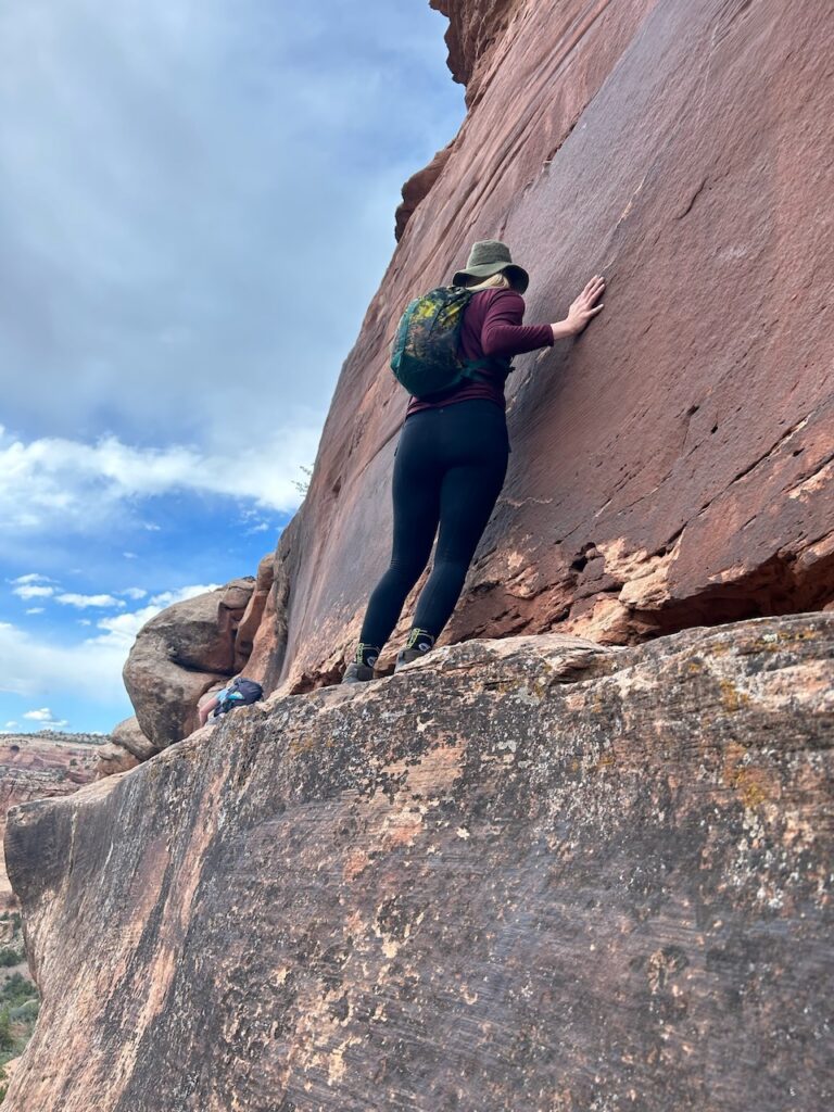
The first of which is a small arch with a down ladder made of birchwood, then an archway you must pass through at the point of a cliff and a third and final obstacle of a very narrow ledge you must traverse across. Taking inventory of everyone’s comfort levels, we all decided to take the plunge and attempt Mee Canyon.
Upon approaching the first obstacle with the ladder, it appeared stable, plus it also helped to have friends holding it as you climbed down. It’s basically a spot you were never going to get to by way of the trail, so why not just put a ladder there? Then you continue along the canyon wall with slip-and-fall-like views of the canyon ahead.
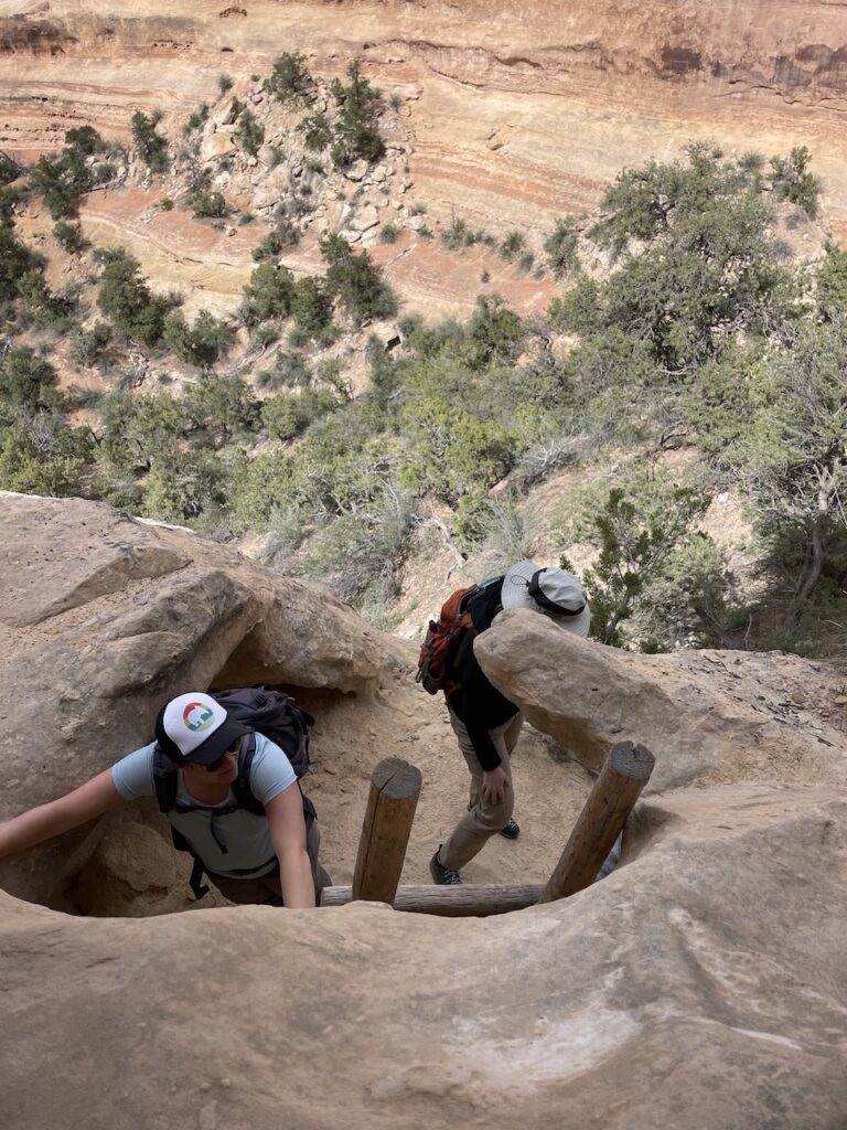
Next, we approached a part of the cliff that seemed almost impossible to pass until we saw a small keyhole making it possible to pass over the cliff to the other side. Not too scary. It did help to have someone hold your pack as you climbed through. Note: I found it much easier to go feet-first through the keyhole on the trip back.
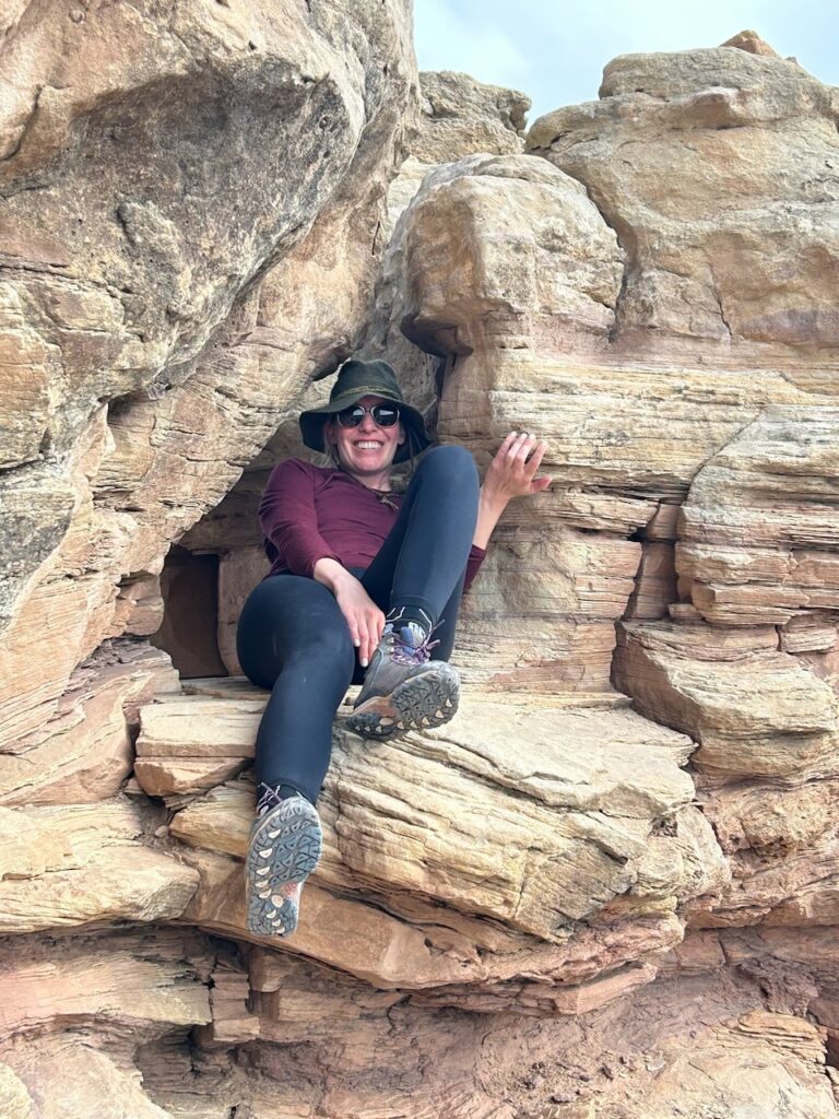
After the keyhole passage, the trail continues to work its way down to the canyon floor — from one bench to the next along the canyon walls. The next and final obstacle we approached is the ledge. It starts out manageable but quickly narrows to maybe six inches wide, MAYBE. That’s when one of the girls turned around and said she’d meet us later. This part tripped me up a bit. You have to trust your footing and grip the sandstone rock as you brace yourself across and down the ledge.
Once you’re through the features, the trail quickly heads down to the bottom of the canyon to the grand finale — Mee Canyon. The massive cavern spans roughly 300 feet deep by 200 feet wide and 80 feet high. So, was all that worth it? Hell yes! The cavern may be one of the more unique landscapes I have seen in Colorado. And I have seen a lot of this state.

Trail details:
- RT: 6.2 miles
- Difficulty: Strenuous
- Elevation: 5368 – 6713 feet
- Getting to the trailhead: get to Glade Park and turn at the store onto 16 1/2 Road and follow it north, turning left onto Black Ridge Road. After 1.3 miles the road splits with the Upper Access Road taking the left fork and the lower road taking the right fork. These are the same upper and lower roads mentioned above taking you to Rattlesnake Canyon. Then it is another 6 miles along the upper road to the trailhead.
All in all, I would highly recommend a trip out to see the Rattlesnake Canyon arches. Be sure to also fit in a hike through Mee Canyon for an unforgettable weekend getaway in Colorado.
*all images were taken by me and are subject to copyright


